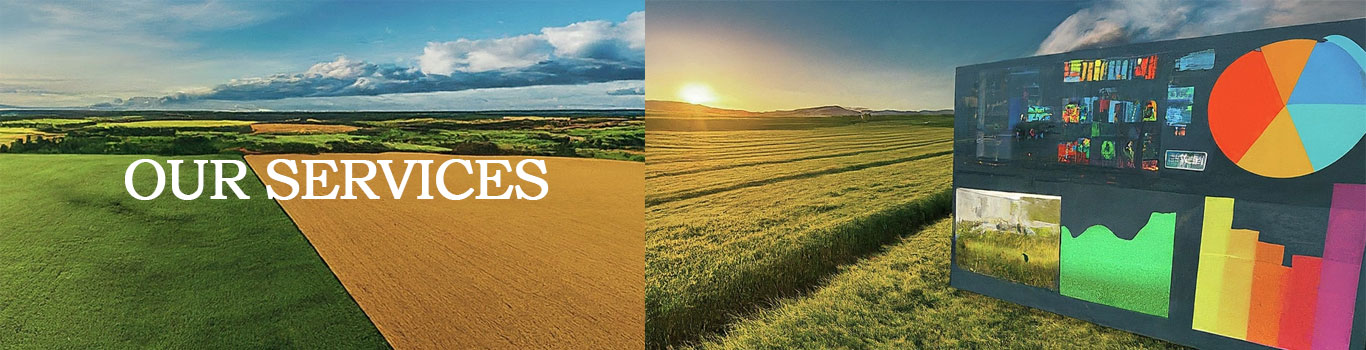
Always ahead of the curve, we keep our services updated, modernized, and digitally empowered.
Crop Production Monitoring and Forecast |Horticulture Development|water and irrigation management through the provision of up-to-date information regarding soil moisture levels and the water demands of crops. Read more >>
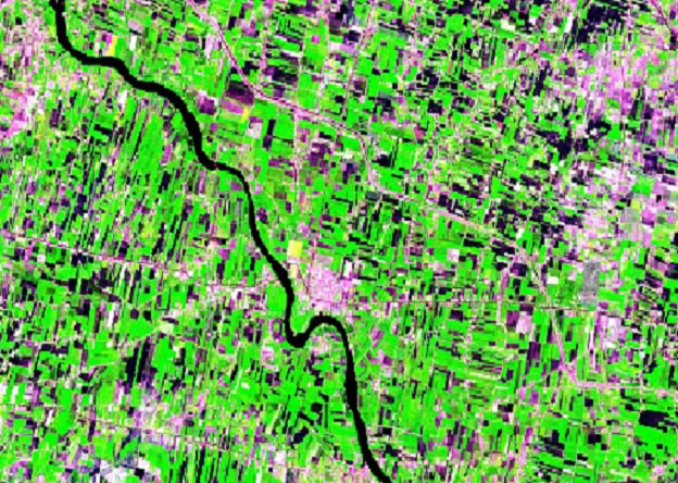
The IHSCYM integrates the satellite data from various agencies like Indian Space Research Organization (ISRO), European Space Agency (ESA) and National Aeronautics and Space Administration (NASA). Read more >>
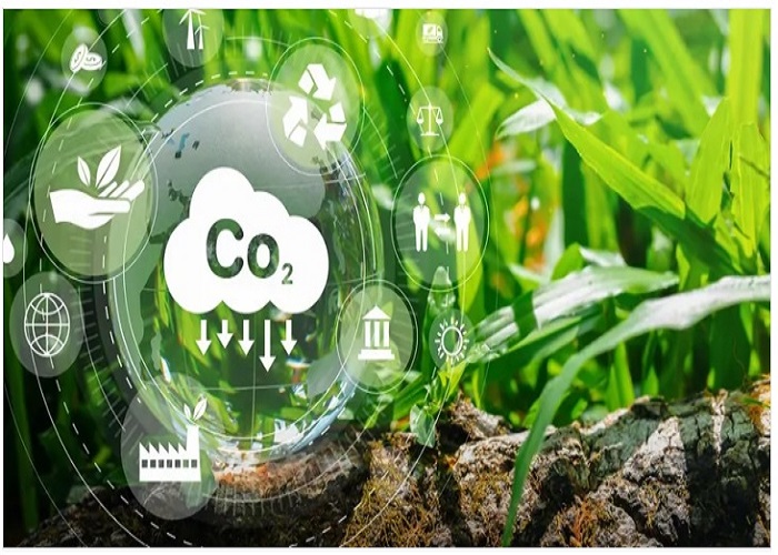
Working on cutting-edge carbon management solutions for various industries. At AgriOrbit, we harness advanced technology to help businesses and farmers reduce their carbon footprints while meeting ESG goals. Our platform, powered by blockchain, IoT, satellite, AI, and machine learning, delivers impactful carbon management solutions.. Read more >>
Precise Vegetable crops likes, Potato and Onion Crop Health Monitoring | Yield Production Monitoring and Forecast |Weather Forecast |water and irrigation management |Soil moisture levels Read more >>

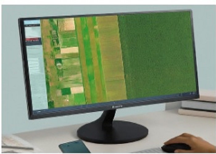
Crop Health Monitoring using Satellite Technology |Yield Forecast Assessment 15 days prior to harvest | Easy Approch to reach farmers & commodity Supply and Chain companies
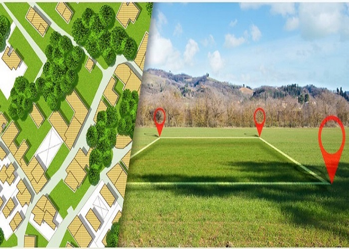
11 States Complete Plotwise Khasra Map | States- Andhra Pradesh, Telengana,Tamilnadu,Maharashtra, Chattisgarh, Orissa,Haryana,Rajasthan ,Uttar Pradesh, Punjab, Madhya Pradesh

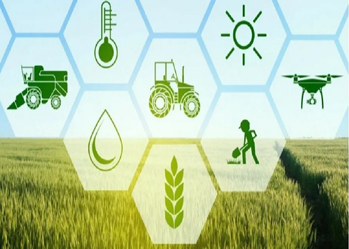
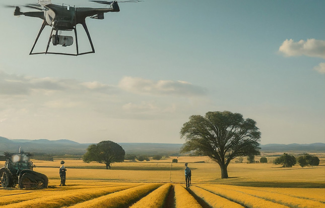
Using advanced technology like drones and satellite sensors for precise farming|Crop monitoring & yield forecasting|Soil health & irrigation planning|Agri-insurance loss assessment and claim support| |Remote sensing for carbon farming |Sugarcane / Paddy precision farming |Village development / FPO consultancy
Crop Damage Assessment ,Crop Cutting Experiments,Local Calamaties Survey| Satellite based topo map updation |Digital Elevation Model |Cadastral level mapping |Drone technology|DGPS survey
The Industry Internship Program is designed to help the students to get experience in the corporate sector before they enter the workforce |Three months GIS & Remote Sensing based live project on Crop health monitoring & yield forecasting using NDVI and other indices and models |Land Use Land Cover (LULC) mapping|Disaster management & flood/drought risk mapping|Urban planning & smart city development|Forest carbon & biomass estimations|Water resources & watershed modelling |Infrastructure / utility mapping|Build dashboards and automated workflows (GEE / Python)|Work in industry domains like agriculture, disaster, urban planning, mining, forest, utilities, insurance
At AgriOrbit Technology, we're passionate about innovation and dedicated to providing cutting-edge solutions to our clients. With a team of experienced professionals, we specialize in leveraging the latest technologies to drive digital transformation and accelerate business growth.